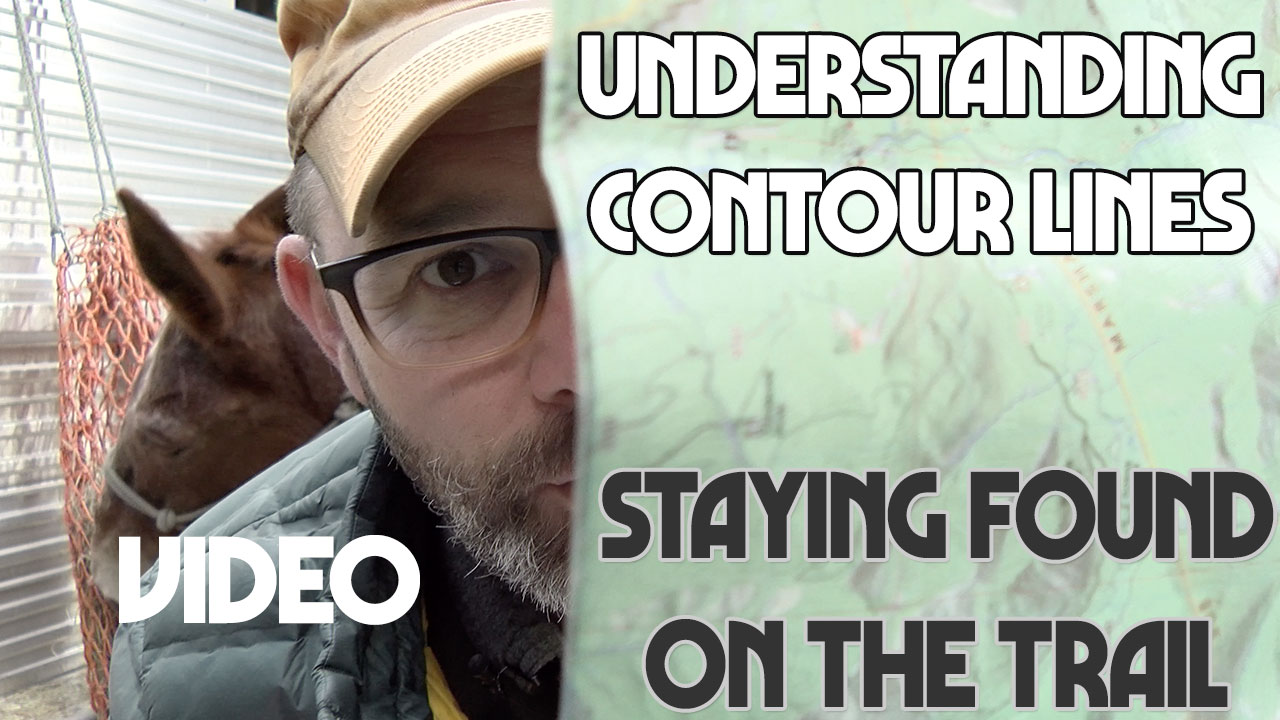
Understanding Contour Lines and Topo Maps – Here’s 8 map features to know.
You probably already know that a compass and a paper map are part of the Ten Essentials. Learning to interpret that paper topo map (short for topographic map) is every bit as essential. Your map can tell a richly detailed story about the area you’ll be exploring. We just have to open our eyes to see that story.
Come to a TrailMeister trail clinic and learn more about using topo maps and the 8 map features to know when planning trail rides as well as make sure that you’re back to camp in time for dinner!
As always for the world’s largest guide to horse trails and camps visit www.TrailMeister.com.
Have you ever looked closely at the squiggly lines scattered over your topo maps? Besides the obvious trails and rivers, the brown squiggly lines are contour lines. These fascinating lines represent the three-dimensional landscape of Earth within the two-dimensional space of a map. Contour lines give us 3-D glasses.
Topographic trail maps are useful for trip planning AND for navigation in the field. They give you the power to visualize three-dimensional terrain from a flat piece of paper. The feature that makes this possible is contour lines:
What these unassuming lines do is plot the points of equal elevation on a map. If you were to trace the length of a contour line, each point would be the same height above sea level. If you were to walk the path of a contour line in real life, you would remain at the same elevation for the whole hike. You might be hanging from a cliff by your fingertips but you would never go up or down.