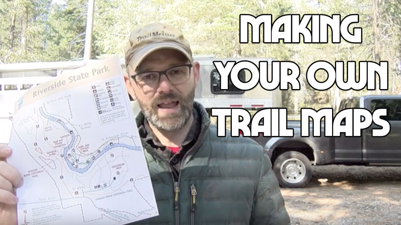
Create Your Own Trail Maps – Having a reliable map is not only handy for the places you ride but also gives you the confidence to tackle new trails and adventures.
I’ll show you a tool that I use to create my own trail maps. It’s easy. It’s free and it works.
Here’s the page for Riverside State Park – https://www.trailmeister.com/trails/riverside-state-park/
For more info:
CalTopo – https://caltopo.com/
Avenza – https://www.avenzamaps.com
Here’s a simple map that took me just a few minutes to build online in CalTopo. To build it, I browsed through the available topo map sources until I found the best one. I was even able to add a hill shading layer which makes short work of deciphering contour lines.
Saving this map as a PDF, allows me to both print a hard copy AND export the same map to my phone, giving me a backup system and an easy to use reference point.
(Illustration: CalTopo)
Riders wanting an accurate, reliable, and free navigation tool can easily build maps using CalTopo. Once you’ve created your custom trail map. You can—and should—print these out as a non-battery-based, unbreakable backup.
Importing these maps into a simple navigation app, like Avenza Maps, on your smartphone gives you a simple user experience, combined with very useful in-depth information. Remember to share all this information with your riding partners, in the event you part ways during the ride, and with your significant others that stay home, in the event of an emergency.
The end result is as easy to use as Google Maps—just open up the Avenza app, and a blue dot shows your location. But instead of yellow streets, it’s real navigational data such as contour lines, trail locations, slope shading and whatever else you want, all working whether or not you have cell signal.
Avenza Maps is an app (iOS and Android) that uses your phone’s built-in GPS to locate you even when you’re out of range of a cell network. It works without cell coverage. Maps used by Avenza are special PDF’s that contain geospatial information. Using CalTopo you can create these special maps to open within the Avenza app.
That this much navigation information can be accessed so easily is unprecedented. That it can be free is even better!
For more information on CalTopo visit caltopo.com For most riders CalTopo’s free plan will be enough to get them down the trail. For more info on the Avenza Maps app visit https://www.avenza.com/avenza-maps/. Again, the free plan gives me plenty of options.
As always for more information on trail riding and camping with horses visit www.TrailMeister.com the world’s largest and most accurate database of horse camps and trails!


