Horse Trails
Horse Trails
Buncombe Horse Range Trail - neverest added this area
Burnsville , NC
Riders have logged 23.86 miles & 10.20 hours here.
TOP TRAIL RIDER: neverest logged 23.86 miles.
-
 Directions
×
Directions
×Driving Directions
Click the icon for directions in google.From Burnsville, go east on US 19E for about 4.3 miles. Turn right onto NC 80. After 0.6 mile, turn right again to stay on NC 80. Follow this road for 11.6 miles. After passing Mt. Mitchell Golf Course, turn right onto South Toe River Road (NFSR 472). This road soon changes to gravel. Arrive at an intersection and turn right toward Black Mountain Campground. Continue past the campground over three bridges for about 2.5 miles. The trailhead is marked on the right, and a parking area is on the left side. The north end of the trail is on Colbert Creek Road, although no parking is available.
-

- ★★★★★
-
Directions
×
Driving Directions
Click the icon for directions in google.From Burnsville, go east on US 19E for about 4.3 miles. Turn right onto NC 80. After 0.6 mile, turn right again to stay on NC 80. Follow this road for 11.6 miles. After passing Mt. Mitchell Golf Course, turn right onto South Toe River Road (NFSR 472). This road soon changes to gravel. Arrive at an intersection and turn right toward Black Mountain Campground. Continue past the campground over three bridges for about 2.5 miles. The trailhead is marked on the right, and a parking area is on the left side. The north end of the trail is on Colbert Creek Road, although no parking is available.
- ★★★★★


Rides Add Your Ride
| Date | Rider | Hours | Minutes | Miles | GPS | Photos | Rating | |
|---|---|---|---|---|---|---|---|---|
| 28 Jun 2019 | neverest | 4 h | 8m | 9.59 | ✔ | ★★★★★ | ||
| 06 Jul 2019 | neverest | 4 h | 5m | 9.6 | ✔ | ★★★★★ | ||
| 25 Aug 2017 | neverest | 1 h | 59m | 4.67 | ✔ | ★★★★★ |
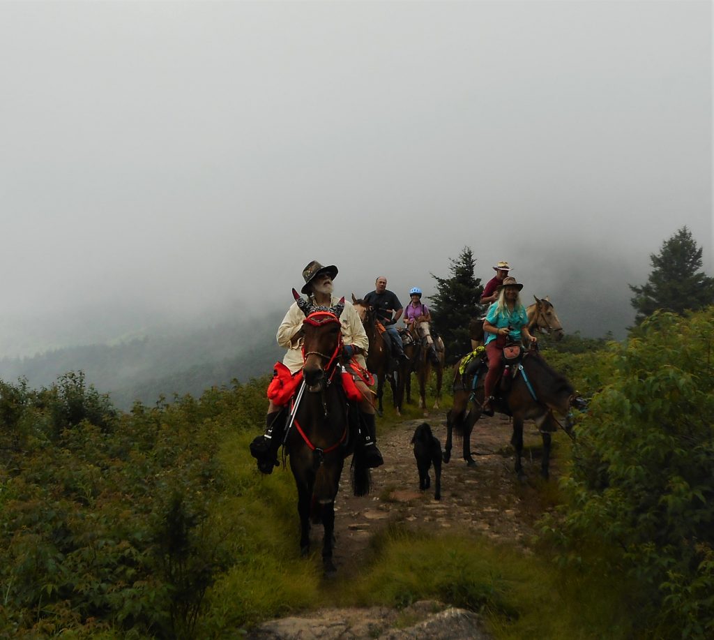
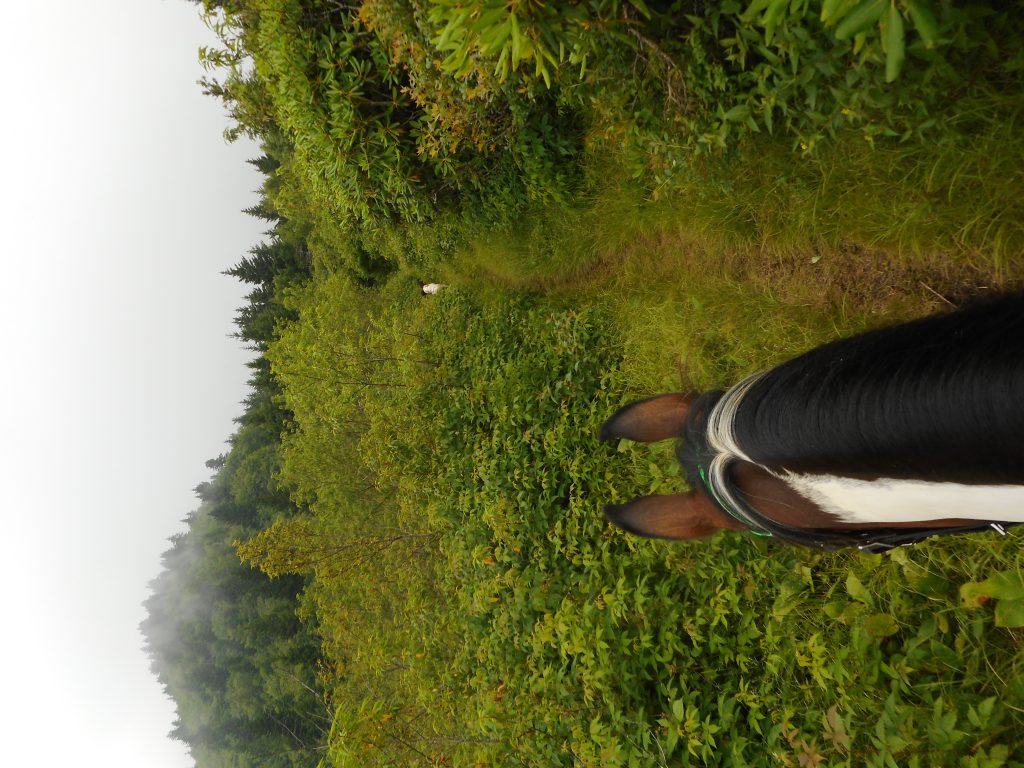
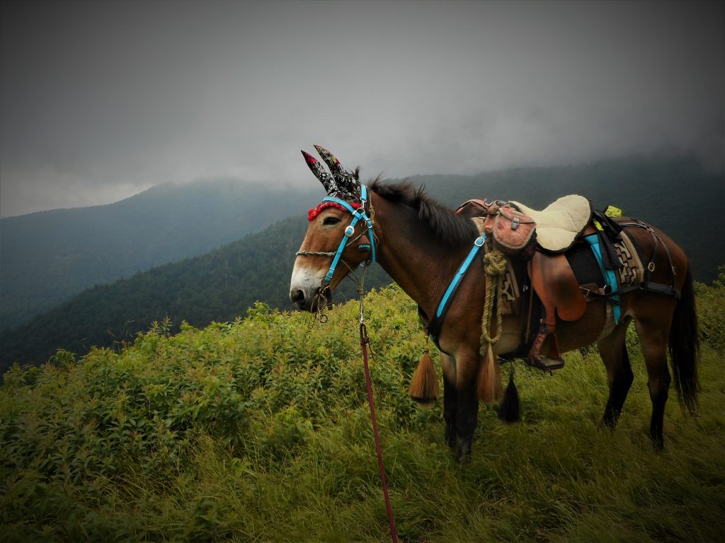
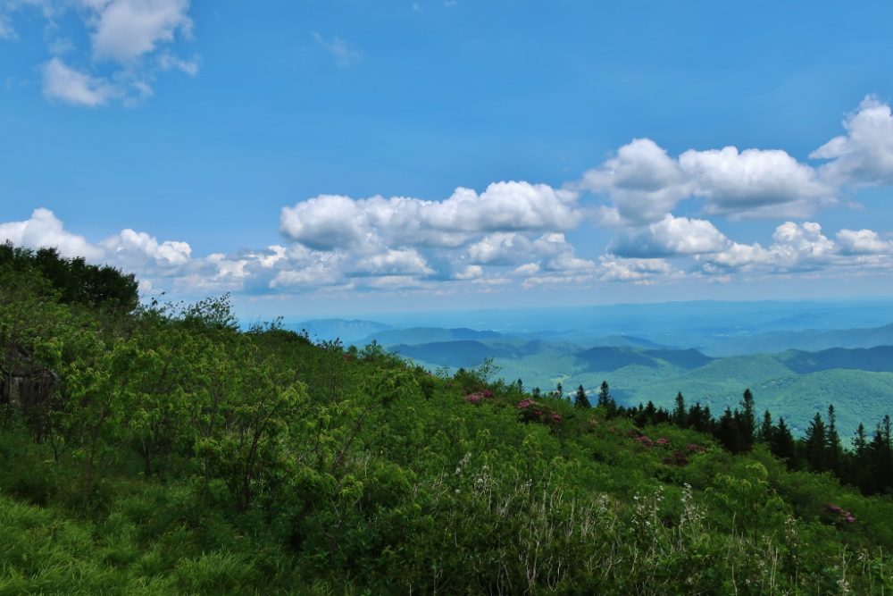
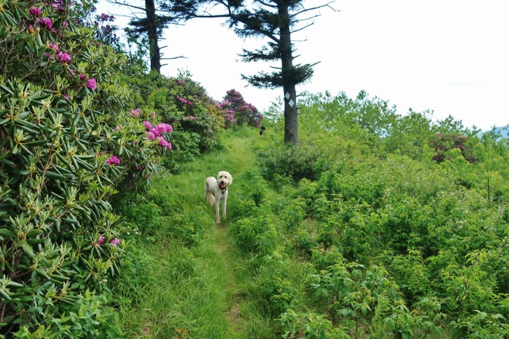
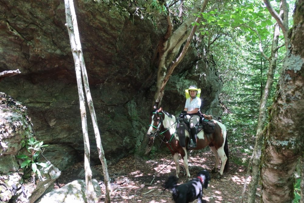
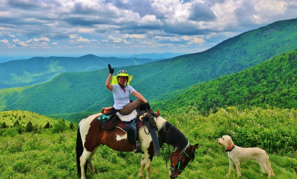
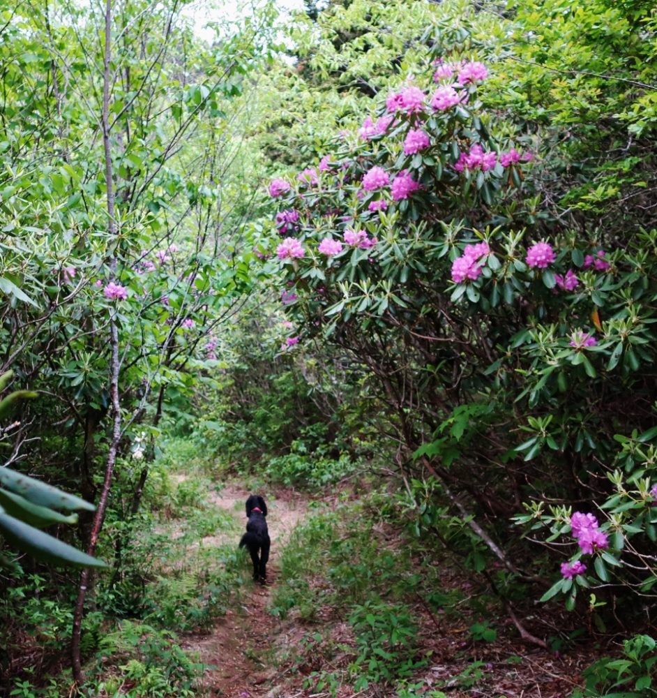
Buncombe Horse Range Trail is a 17 mile one way (no loop potential) trail. One end is on the S Toe River Rd & the other is on the Colbert Creek Rd. There is VERY little parking at those two ends as well as at a middle area to access, @ 1/8 mile north of the Parkway on Hwy 128 (that goes up to Mt Mitchell). All that said, it is a beautiful trail, with ample water for stock, gorgeous views, and cool in the summer being such high elevation.
Land manager is the Pisgah National Forest – https://www.fs.usda.gov/recarea/nfsnc/recarea/?recid=48582
BHT is a horse/hike trail, in the Appalachian Ranger District of the Pisgah Nat Forest.