Horse Trails
Horse Trails
Courtney Lake Equestrian Trail - mdsimpson added this area
Mass City , MI
 Printable Map
-
 Directions
×
Directions
×Driving Directions
Click the icon for directions in google.From Ontonagon, Mi., travel east on M-38 for approximately 21 miles to FR 1980. The FR 1980 trailhead is located on the south side of the highway. The main trailhead is located at the start of FR 1980. From Mass City, Mi., travel 8 miles east on M-38 to FR 1980. From Baraga, Mi., travel approximately 20 miles west on M-38 to FR 1980. Additional trailheads are located on FR 1960 and Dishnaw road. See the attached map for details.
-

- ☆☆☆☆☆
 Printable Map
- Printable Map
-
Directions
×
Driving Directions
Click the icon for directions in google.From Ontonagon, Mi., travel east on M-38 for approximately 21 miles to FR 1980. The FR 1980 trailhead is located on the south side of the highway. The main trailhead is located at the start of FR 1980. From Mass City, Mi., travel 8 miles east on M-38 to FR 1980. From Baraga, Mi., travel approximately 20 miles west on M-38 to FR 1980. Additional trailheads are located on FR 1960 and Dishnaw road. See the attached map for details.
- ☆☆☆☆☆


No routes found... Be the first to submit one.
No Rides Found Be the first to Add Your Ride
Discover the beauty and adventure of the Courtney Lake Trail System, a premier destination within the Ottawa National Forest offering more than 18 miles of scenic, versatile trails. Whether you’re hiking, biking, or riding, you’ll enjoy a well maintained route with sandy and gravel surfaces that provide reliable footing. With many two track sections, it’s also an excellent choice for equestrians who want to bring a cart.
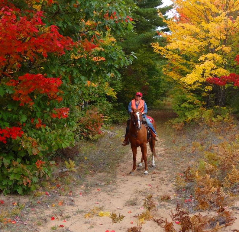
As the only mapped and signed horse trail system in the Western Upper Peninsula, Courtney Lake delivers a standout riding experience. The peaceful, clearly marked paths wind through diverse and captivating forest landscapes, making every mile memorable.
The nearby Courtney Lake Campground enhances the experience with six equestrian friendly campsites equipped with corrals, fire rings, picnic tables, and lantern posts. Riders also have access to potable water, latrines, hitching posts, and a mounting block—everything you need for a comfortable stay in the heart of the forest. For more details on camping and additional Forest Service roads to explore, visit the Ottawa National Forest website at: https://www.fs.usda.gov/r09/ottawa
To help keep this special place pristine, equestrians are asked to clean up after their horses in both the campground and trailhead areas. Bagged manure can be conveniently disposed of in the dumpster located near the new trailhead.
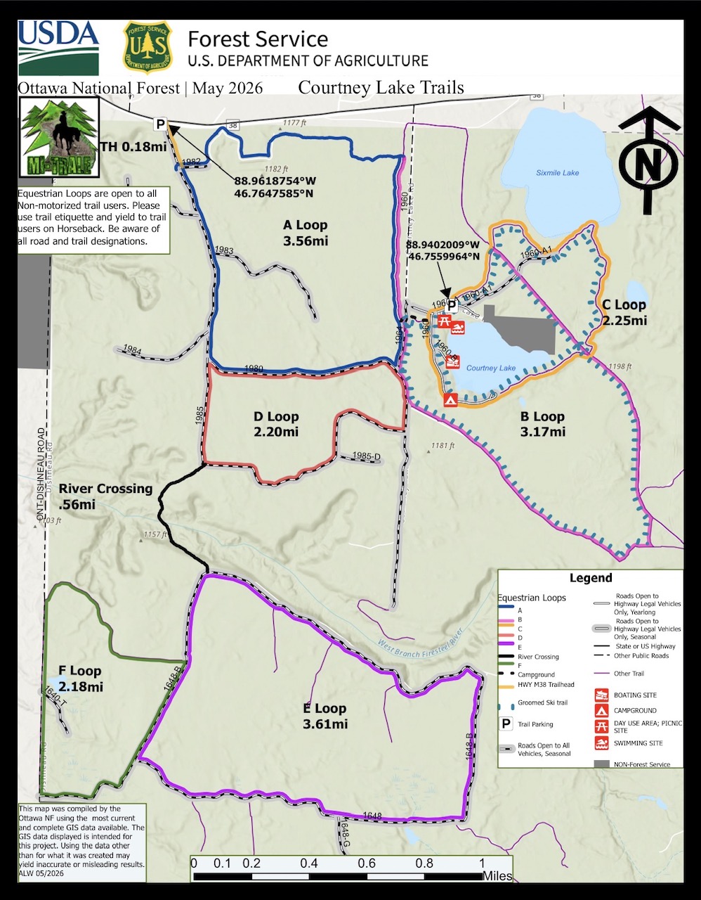
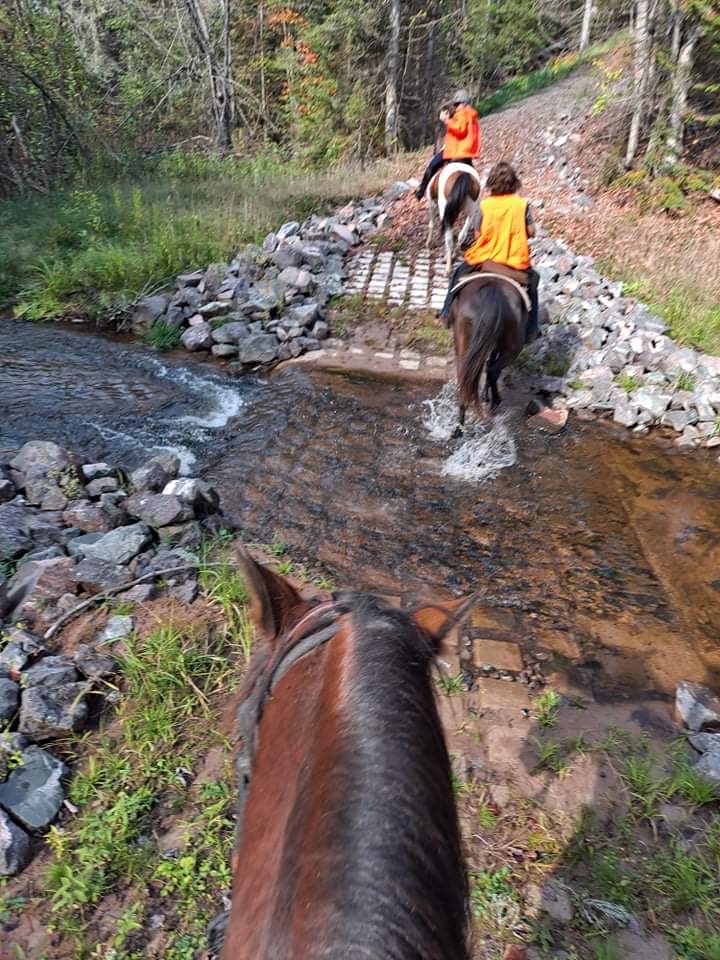
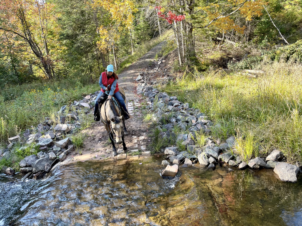
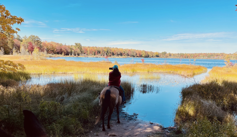
The trail system features two distinct sections. The non-motorized trails loop through the campground, circle the sparkling waters of Courtney Lake, and lead to a serene overlook of a second quiet inland lake. The motorized trails make up the rest of the mapped horse routes, offering even more ground to explore. A non-motorized river crossing links the north and south sides of the Firesteel River, creating a seamless riding experience.
Visitors can choose between two trailheads: the newer non-motorized trailhead at 88.9402009W, 46.7559964N, or the original equestrian trailhead at 88.9618754W, 46.767585N.
To make your adventure even easier, a detailed map highlights the trail system by “Loops,” helping you navigate with confidence and discover your perfect ride.
Link to Map: https://www.fs.usda.gov/sites/nfs/files/publication/508-Courtney%20Lake%20Non-Motorized%20Trail%20Map%202026_0.pdf
Land manager is Ottawa National Forest – https://www.fs.usda.gov/r09/ottawa/recreation/trails/courtney-equestrian-trails
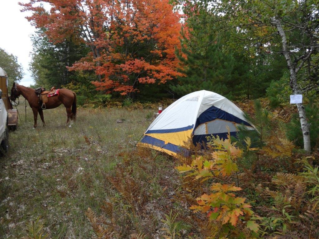
The Courtney Campground is closed to horses – Primitive horse camping is available at the FR 1980 trailhead.
The nearly one million acre Ottawa National Forest provides a wide variety of equestrian opportunities ranging from well maintained roads and trails to the more challenging cross country travel. Except for Sylvania Wilderness and specifically designated hiker only trails, including the North Country National Scenic Trail, the entire Forest is open to horses. This includes open roads, closed, gated and blocked roads unless the road is specifically signed as closed to horses. Horses are not permitted in developed recreation areas, including campgrounds.
Dispersed camping is allowed throughout the Ottawa National Forest, excluding Sylvania Wilderness. Areas that offer dispersed camping opportunities on National Forest Lands include roads and old logging roads, which often have bermed areas set back to allow room for truck and trailer parking. Please do not block roads or gates when camping in dispersed areas and stay limits are 16 days.
Many of the roads and trails on the Ottawa are open to other uses including motor vehicle travel, off highway vehicles, snowmobiles, hikers and mountain bikes, unless otherwise specified. Roads and trails travel through a variety of management areas across the Ottawa National Forest. These areas are managed for a wide range of multiple use activities including recreation, threatened and endangered species, fish and wildlife, water quality and wood products. To help prevent erosion, impacts to threatened and endangered species, archeological sites, or other fragile sources please stay on roads and trails. For more information, please call the Ottawa National Forest Visitor Center at 906-358-4724.