Submit a Trail
Horse Trails
Horse Trails
Dry Fork Recreational Area - 1trailmeister added this area
Fulton, MO
 Printable Map
-
 Directions
×
Directions
×Driving Directions
Click the icon for directions in google.From Fulton, MO take 54 south to Route H; west on Route H to Route J; turn north on J to County road 356; west on County Road 356 to County Road 361; turn south for 1 mile.
-

- ☆☆☆☆☆
- Printable Map
-
Directions
×
Driving Directions
Click the icon for directions in google.From Fulton, MO take 54 south to Route H; west on Route H to Route J; turn north on J to County road 356; west on County Road 356 to County Road 361; turn south for 1 mile.
- ☆☆☆☆☆


No routes found... Be the first to submit one.
No Rides Found Be the first to Add Your Ride
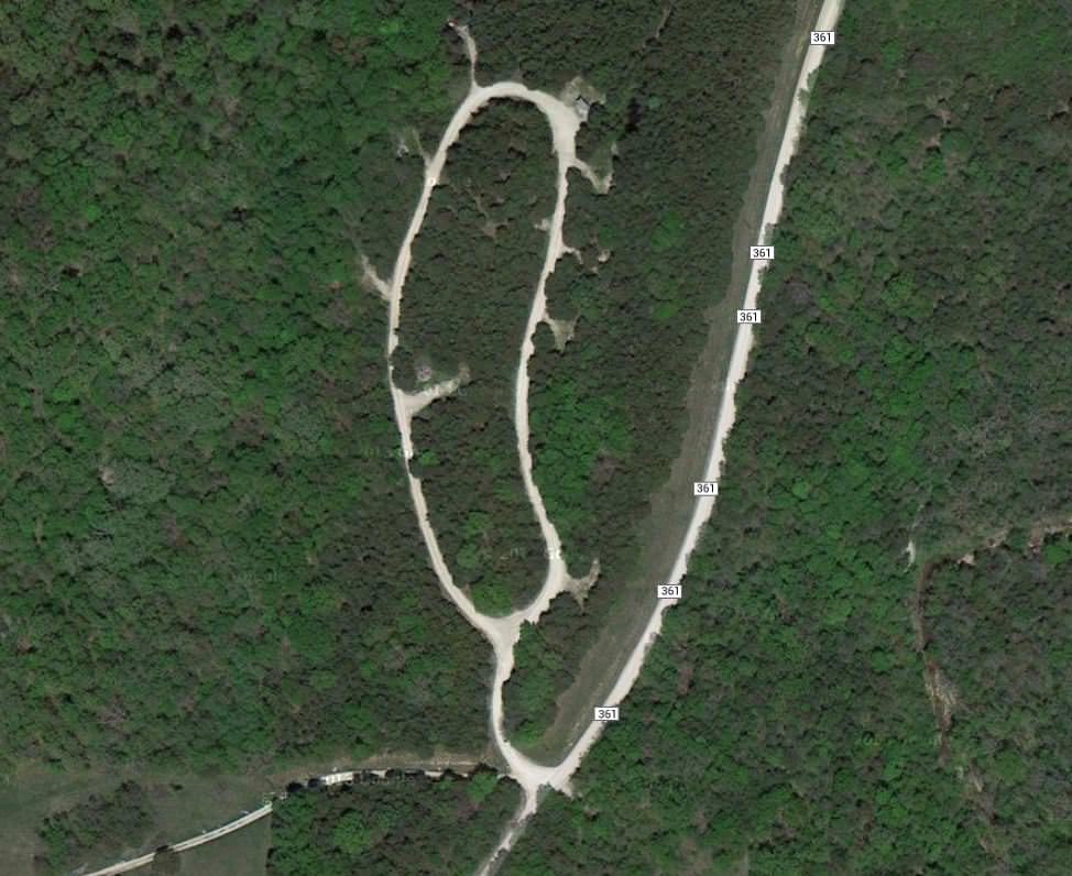
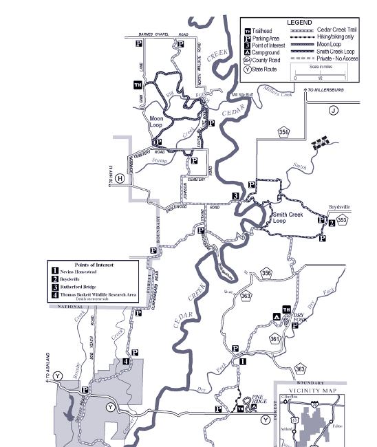
This campground serves as a equestrian trailhead for the 35-mile Cedar Creek Trail. Located in a quiet oak/cedar forest, it has 8 single campsites, and an area across the road that accommodates small groups.
- Southern Loop cross 22 miles of scenic country with about one-third of this section on gravel and paved county roads. It is marked in grey diamonds.
- Smith Creek Section, between Hwy J and Cedar Creek, about 5 miles from Boydsville to Rutherford Bridge. This scenic route provides glimpses of Cedar Creek from the bluffs above. It is marked in orange diamonds.
- Pine Ridge Section, which passes through Pine Ridge Recreation Area, is open to foot travel and mountain bikes only. This trail is marked with grey diamonds. No horses, please. An alternative trail to the west is provided for horses.
- Moon Loop, about 7 miles in length, offers varying landscapes. The name was given because, at one time, the effects of soil erosion that occurred in the 1930s caused hikers to think of the surface of the moon. It is marked with yellow diamonds.