Submit a Trail
Horse Trails
Horse Trails
Lake Oroville State Recreational Area - TrailMeister added this area
Oroville, CA
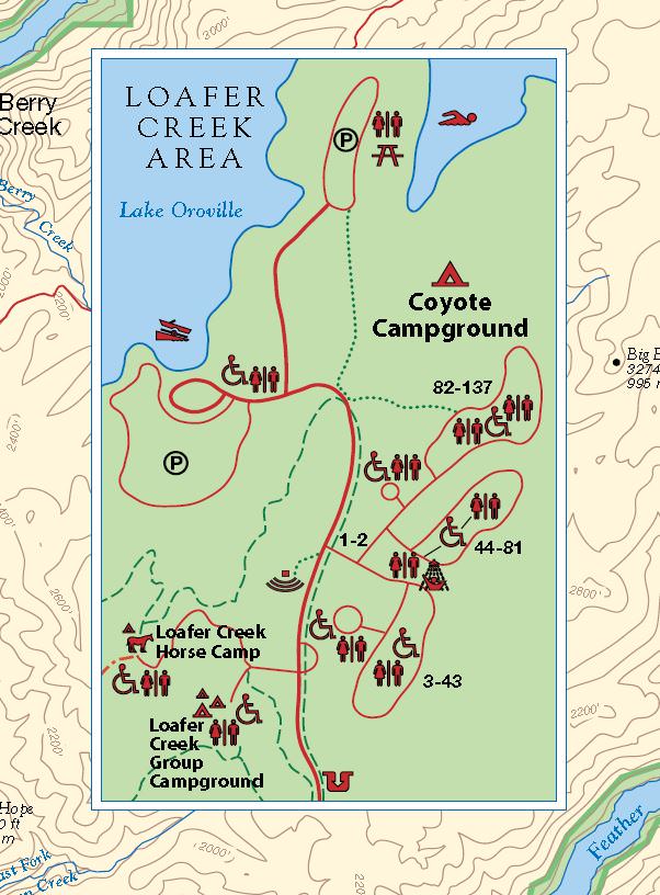
 Printable Map
-
 Directions
×
Directions
×Driving Directions
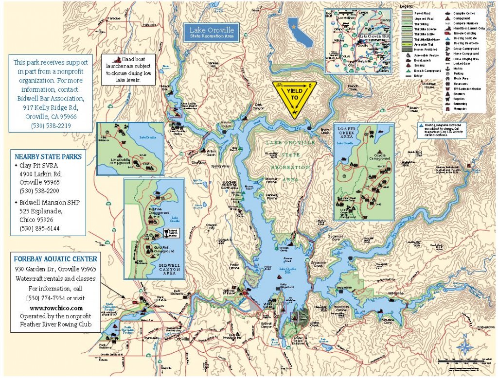
Click the icon for directions in google.68 miles north of Sacramento on Highway 70 to Highway 162. 9.5 miles east on Highway 162 to Loafer Creek, left into the park.
-

- ☆☆☆☆☆
- Printable Map
-
Directions
×
Driving Directions
Click the icon for directions in google.68 miles north of Sacramento on Highway 70 to Highway 162. 9.5 miles east on Highway 162 to Loafer Creek, left into the park.
- ☆☆☆☆☆


No routes found... Be the first to submit one.
No Rides Found Be the first to Add Your Ride
Horse riders have over 40 miles of trails to ride in the Lake Oroville State Recreational area from the Loafer Creek Horse Camp.
- Land manager is California State Parks