Submit a Trail
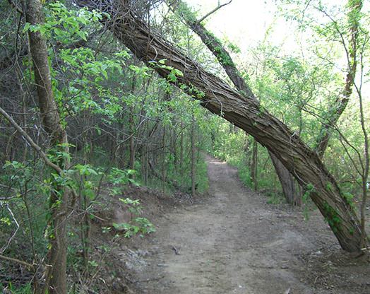
Horse Trails
Horse Trails
McKinney Roughs Nature Park - TrailMeister added this area
Cedar Creek, TX
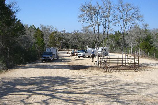
 Printable Map
 Smart Map
-
 Directions
×
Directions
×Driving Directions
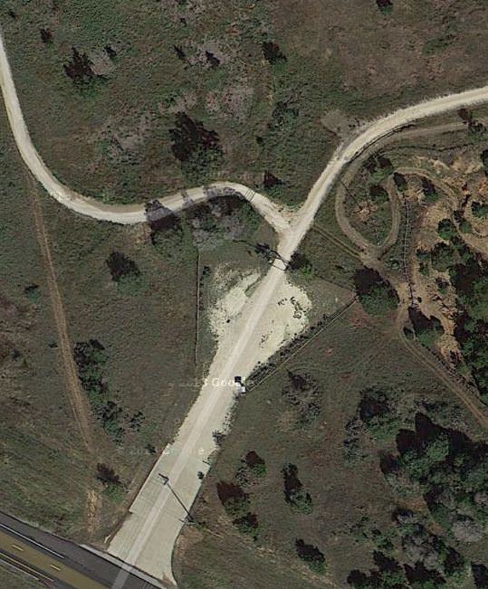
Click the icon for directions in google.The Highway 71 Trailhead is located on the westbound side of State Highway 71 just 1/4 mile east of the McKinney Roughs entrance. The trailhead allows immediate access to the east side of the park.
-

- ☆☆☆☆☆
- Printable Map
- Smart Map
-
Directions
×
Driving Directions
Click the icon for directions in google.The Highway 71 Trailhead is located on the westbound side of State Highway 71 just 1/4 mile east of the McKinney Roughs entrance. The trailhead allows immediate access to the east side of the park.
- ☆☆☆☆☆


No routes found... Be the first to submit one.
No Rides Found Be the first to Add Your Ride
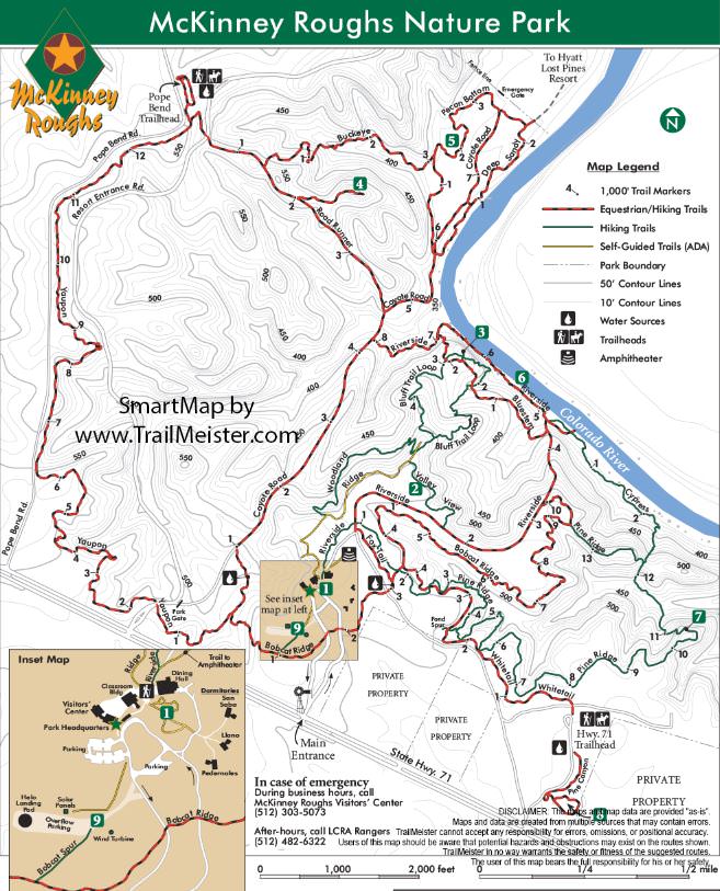
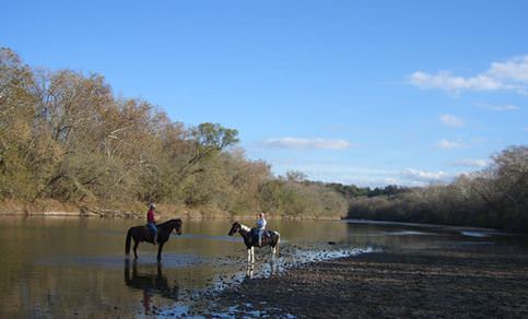
McKinney Roughs is a day use park where riders can explore close to 18 miles of trails on horseback.
- Land Manager is Lower Colorado River Authority
- Trailhead gates are opened at sunrise and closed at sunset everyday if weather conditions permit.
- Fee Area
- To check if equestrian trails are open, call the 24-hour trail information hotline at 1-800-776-5272, Ext. 7427.