Submit a Trail
Horse Trails
Horse Trails
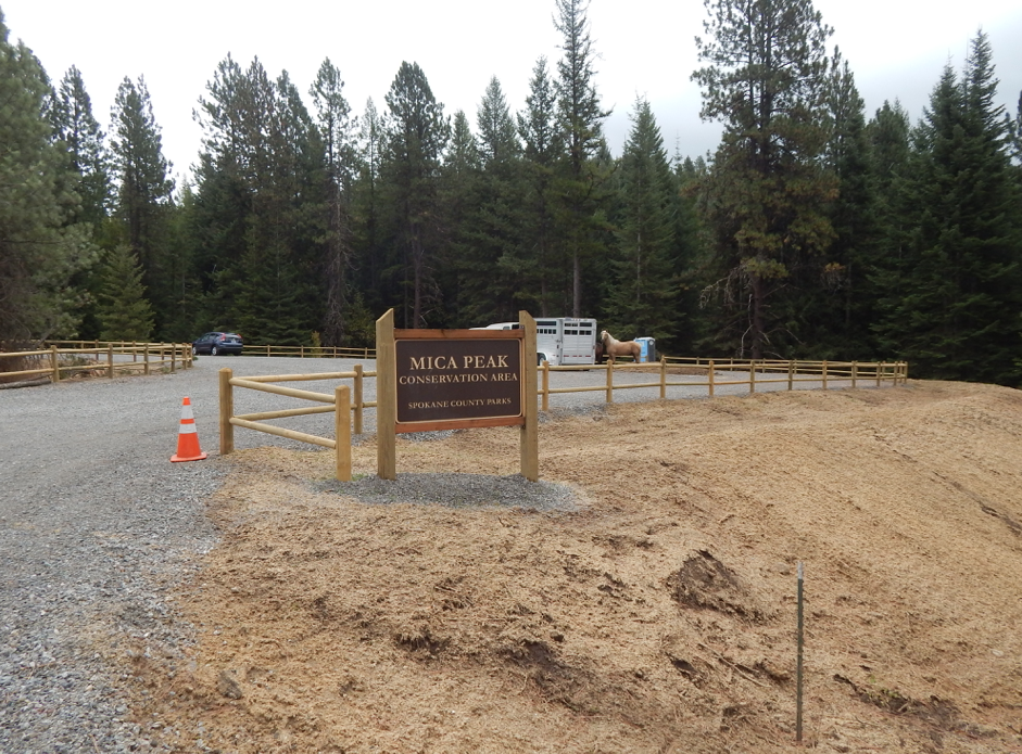
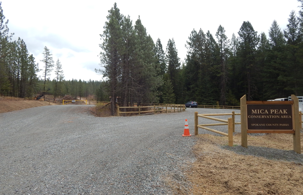
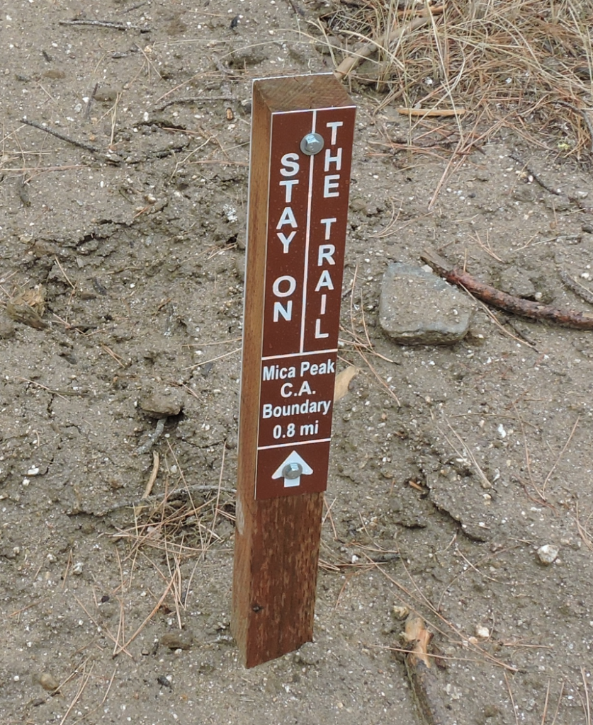
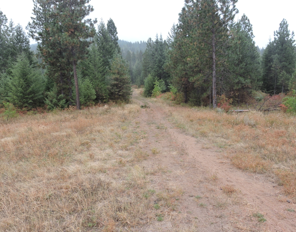
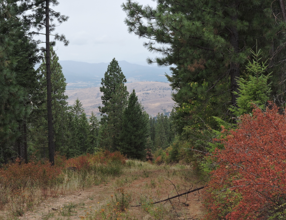
Mica Peak Conservation Area - TrailMeister added this area
Spokane, WA
Riders have logged 13.60 miles & 4.40 hours here.
TOP TRAIL RIDER: scubadiver49 logged 9.50 miles.
 Printable Map
-
 Directions
×
Directions
×Driving Directions
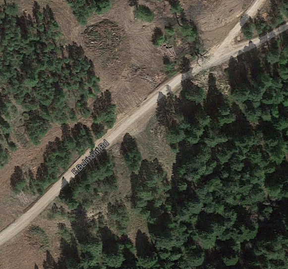
Click the icon for directions in google.From I-90, East Bound: - Take Exit 289 - Pines Road / State Highway 27 - Turn South onto Pines Road / State Highway 27 and follow for 8.5 miles - Turn left (east) onto Belmont Road and follow for 4.1 miles to the road\'s end.
-

- ★★★★★
- Printable Map
-
Directions
×
Driving Directions
Click the icon for directions in google.From I-90, East Bound: - Take Exit 289 - Pines Road / State Highway 27 - Turn South onto Pines Road / State Highway 27 and follow for 8.5 miles - Turn left (east) onto Belmont Road and follow for 4.1 miles to the road\'s end.
- ★★★★★


Rides Add Your Ride
| Date | Rider | Hours | Minutes | Miles | GPS | Photos | Rating | |
|---|---|---|---|---|---|---|---|---|
| 09 Oct 2017 | scubadiver49 | Ride Notes | 0 h | 15m | 2 | ★★★★★ | ||
| 25 Sep 2017 | scubadiver49 | Ride Notes | 2 h | 30m | 7.5 | ★★★★★ | ||
| 06 Sep 2015 | Anonymous | Ride Notes | 1 h | 39m | 4.1 | ✔ | ★★★★★ |
The Mica Peak Conservation was opened for use in summer of 2015 and is a fantastic place for horse riding, hiking, and biking.
- Land Manager is Spokane County Parks and Recreation Department
- Day use only