Horse Trails
Horse Trails
Usery Mountain Regional Park - 1trailmeister added this area
Mesa, AZ
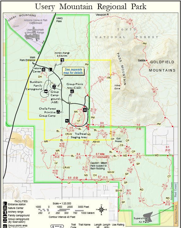
 Printable Map
-
 Directions
×
Directions
×Driving Directions
Click the icon for directions in google.From central Phoenix, I-10 east to US 60 east. Exit Ellsworth Road north to the Usery Mountain Regional Park entrance
-

- ☆☆☆☆☆
- Printable Map
-
Directions
×
Driving Directions
Click the icon for directions in google.From central Phoenix, I-10 east to US 60 east. Exit Ellsworth Road north to the Usery Mountain Regional Park entrance
- ☆☆☆☆☆


No Rides Found Be the first to Add Your Ride
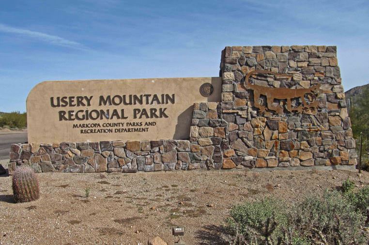
Located on the Mesa Valley’s east side, this park takes in 3,648 acres set at the western end of the Goldfield Mountains, adjacent to the Tonto National Forest. The park contains a large variety of plants and animals that call the lower Sonoran Desert home. Along the most popular feature of the park, the Wind Cave Trail, water seeps from the roof of the alcove to support hanging gardens of Rock Daisy. The Wind Cave is formed at the boundary between the volcanic tuff and granite on Pass Mountain. Breathtaking views from this 2,840-foot elevation are offered to all visitors.
The trails within the Usery Mountain Regional Park are very popular because they have enough elevation to offer spectacular vistas of surrounding plains. Whether you are looking across the plain, flat land, south of the recreation area, or to the west or north great distances or surrounding mountains can be seen and enjoyed.
- Land Manager is Maricopa County Parks – https://www.maricopacountyparks.net/park-locator/usery-mountain-regional-park/
- Day use only for equestrians