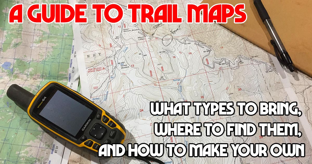
A Guide to Maps for Trail Riders – What types to bring, where to find them, and how to make your own
When I first ventured out of the arena and onto the trails, I used whatever navigational tools were easily available. Sometimes they were OK and often they weren’t, but for the most part I was able to get back to the trailhead…eventually.
But when I started exploring the high mountains of the American west, I found that often times I had to create my own navigational tools, assembled from various sources. Regardless of where you ride, having a reliable trail map, knowing how to use it is imperative, unless you’re a fan of being late for dinner. Here’s my guide to maps with more info on what type of maps I carry, and why, to ensure that I get home in time for dinner.
Physical vs Digital
Different types of maps have different uses
On almost every ride I carry 3 types of topographic trail maps. Two of these will be physical, paper, maps: a small-scale overview map, and large-scale detailed maps. I’ll also generally have digital maps loaded on my phone. Each of these tools adds to the functionality of the others.
Despite the seeming preponderance of digital gadgets that I see on the trail, traditional paper maps are simply better than digital. Think of these reasons.
- They offer a significantly larger viewing window: an 11-by-17-inch sheet amounts to 187 square inches of topographic detail, or nearly 20 times larger than the screen on my iphone.
- Paper maps can also be written on, which is useful for making route notes and drawing bearings.
- Unlike electronic devices, there’s little to no impact if they’re dropped or sat on, they remain functional after being exposed to water (so long as they’ve been waterproofed).
- Paper maps don’t require batteries or recharging, and they’re more easily viewed by multiple people together, when discussing the daily ride.
I won’t deny that the appeal of digital maps is real and these tools certainly have their place in your gear list. GPS units, or a smartphone, fit easily in pockets and require no laborious folding. Also, depending upon the app, these digital devices can reliably pinpoint your location in an instant without much work or thought involved (This is not necessarily a good thing!).
This video will help you learn to see a map in 3-D – https://www.trailmeister.com/understanding-contour-lines-and-topo-maps/
Overview (small scale) Maps
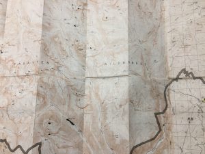
Great for an overview of an area – Here it’s the Pasayten Wilderness in WA.
Overview maps normally have a scale of between 1:50,000 and 1:100,000, meaning that one unit on the map (e.g., an inch, a centimeter, a thumbnail) equals 50,000 or 100,000 units in the field. They usually cover a defined area, like a national park or wilderness area, where my entire trip will probably take place.
When I’m planning a trip, I use these small-scale maps to develop a general understanding of the landscape, including the main watersheds and trail networks. They help plot general routes and evaluate potential alternates.
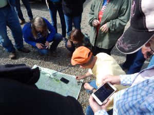
Scene from a TrailMeister navigation clinic
On the trail, overview maps are useful for pinpointing distant landmarks and serve as a reference for midtrip route discussions, detours, and self-evacuations if needed.
Small scale maps can work for on-trail navigating. However, by definition, the topographic detail on a small-scale map is compressed, making it difficult to associate features on the map with features in the field, particularly subtle ones. If your map-reading skills leave something to be desired (be honest), trying to improve them using only small-scale maps will generate limited results.
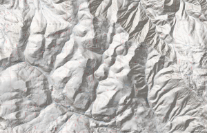
Terrain shading can help – or hinder
Making matters worse, most overview maps do not use a standard scale or contour intervals so you have relearn these relationships with every map. The overview map of Montana’s Bob Marshall complex that I use every year is printed at 1:80,000 and has 100-foot contour lines. The map I use in the Pasayten Wilderness in Washington is printed at 1:50,000 with 50-foot contour lines, making the topography appear much less steep.
Also, many popular overview maps have shaded relief. The shading causes features to stand out more but can play tricks with your eyes when not viewed from the south side of the map and looking north.
Detail (large scale) Maps
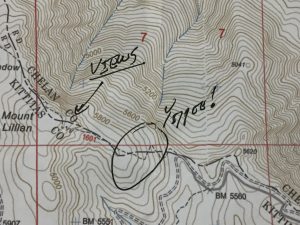
Trail notes on my map of Haney Meadow in Washington State
When I’m planning a trip at home I use these very detailed large scale maps to precisely plan my route. On a trip, I rely on them for navigation and to find campsites and water sources.
For U.S. Forest Service lands, the gold standard for large-scale maps is a digitized series, produced by the USFS and accessed digitally, using platforms like CalTopo and /or GaiaGPS. It’s easy to export USFS, and USGS, maps out of CalTopo and Gaia into print-ready PDFs. I’m a fan of 11-by-17-inch printouts.
Here’s a video that shows you how to create your own trail maps – https://www.trailmeister.com/create-your-own-trail-maps/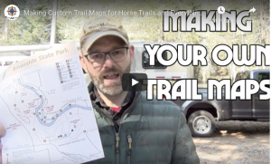
Digital Maps
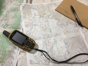
As a backup and supplement to my paper maps, I also load digital maps onto my smartphone or GPS unit.
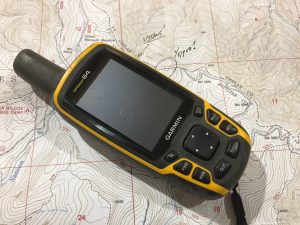
When I’m not using my phone I’m a big fan of the Garmin GPSMap64 model – click for more info
Despite my preference for hard copy, These digital maps have value. If I should lose my paper maps or get way off route (both have happened) digital maps can quickly become an invaluable resource.
I hope that this guide to maps aids you in your journey outside the arena and helps you get home in time for dinner!